Au début de notre ère, un riche Lingon, soucieux de sa notoriété posthume, fit ériger un grand monument funéraire sur une position dominante soigneusement choisie. Situé en bordure de la voie romaine, le monument offrait ostensiblement aux regards le témoignage de la richesse du défunt... Ce somptueux tombeau, en forme de tour élancée, superposait trois niveaux d'ordre corinthien.
Au cours des siècles, le mausolée fut détruit et utilisé comme carrière. Seule subsiste la base du massif de blocage intérieur, visible ici.
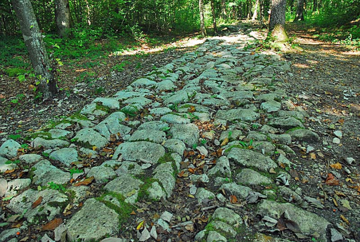
Situé à 16 km de Langres, les vestiges du mausolée gallo-romain de Faverolles constituent ainsi un témoignage exceptionnel. Edifié en 20 avant J.-C., le site du mausolée gallo-romain, aménagé en parcours de découverte, permet aux visiteurs d'appréhender les vestiges du tombeau dans leur environnement archéologique et géologique. A l'aide de panneaux disposés le long du parcours, sont expliqués l'enclos funéraire, le réseau routier gallo-romain, les carrières de calcaire...
Pour bien comprendre la reconstitution de l'édifice dans sa splendeur d'origine, il est vivement recommandé de visiter l'Atelier Archéologique de Faverolles où sont exposées les plus belles pièces architecturales (chapiteaux, corniches,..) et décoratives (lions, tritons, masques).
![]()
Circuit ludique disponible sur l'application Id-Vizit :
Les gallo-romains de Faverolles
Pars avec Sergius à la découverte du mausolée de Faverolles. Les 2 km du sentier d'interprétation te feront découvrir les différents sites qui entourent ce monument. Presque toutes les réponses se trouvent sur les panneaux, donc pas de panique ! Il te suffit de lire les explications et tu pourras devenir un vrai chercheur faverollais !
+ d'info sur Id-Vizit
SENTIER DE DECOUVERTE DU MAUSOLEE GALLO-ROMAIN
Circuit en boucle
FAVEROLLES


